
Geologic Mapping in the Black Hills at 1:24,000 scale
Project Description
The need for 1:24,000 scale geologic maps has become crucial in parts of the Black Hills of South Dakota, however, geologic map coverage at this scale ranges from good quality published maps to areas that have little or no mapping. The Geological Survey Program is producing geologic maps in areas of the Black Hills where these maps are needed, in cooperation with the South Dakota School of Mines and Technology, the West Dakota Water Development District, the U.S. Geological Survey EDMAP Program, and the National Park Service.
Why are maps like this needed?
- To address concerns such as quantity and quality of water in the aquifers in the Black Hills.
- To perform source water assessments for public water supplies that obtain water from these aquifers.
- To properly address issues related to geologic hazards, floodway analysis, and mining.
- To understand the development of caves in the Black Hills and to protect the cave resources, such as Wind Cave National Park and Jewel Cave National Monument.
- To allow sound development practices to be implemented and wise land management decisions to be made.
- To provide base information that can be used in digital form in a statewide geographic information system.
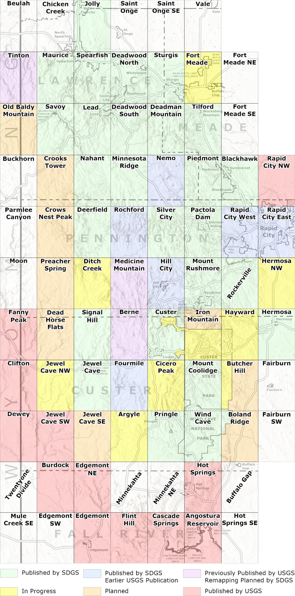
Status of 1:24,000-scale Geologic Mapping in the Black Hills, South Dakota Click map to download PDF |
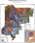 Geologic Map of Wind Cave National Park Fagnan, B.A.; Lincoln, B.Z.; Lincoln, T.N., 2013 GIS Files |