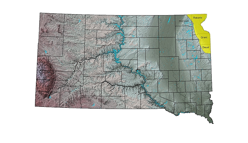
Aquifer delineation in the northeast counties of Marshall, Roberts, Grant and Deuel

Project Description
A study has been ongoing in the northeast part of the state to more accurately map the boundaries of glacial outwash aquifers that lie east of the Coteau De Prairies. There are five previously mapped and named aquifers under study, Veblen, Revillo, Wilmot, Fairmount, and Rosholt. All five can be categorized into one of the following aquifer types: Surficial (shallow), intermediate, and basal (deep). These categorizations will potentially be updated, and the process of well monitoring/installation is ongoing. This is accomplished through the development/review of new or existing cross sections, geologic maps, test hole data, well installation, water level data, and water quality data. The goal of this project is to more accurately define the boundaries, saturated thickness, and hydraulic connectivity of these aquifers. A report describing the geologic conditions of these aquifers will be produced, along with maps displaying extent, thickness, water quality, water levels, and potentiometric surfaces at 1:100,000 scale.
