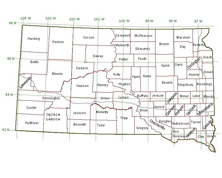
DLG - 1:100,000 Scale
DLG files are in ArcView shapefile format, and files for each quadrangle are packaged into a single ZIP file.
Scale: 1:100,000; Projection: Geographic (decimal degrees); Datum: NAD83;
Each zip file includes these shapefiles:
| Feature | Filename Suffix |
|---|---|
| County Boundaries | bound |
| Lakes | lakes |
| Hypsography | hypsography |
| Hydrography | hyd |
| Roads | rds |
| Railroads | rr |
| Section Lines | sec |
| Township Lines | tnrg |
| 7.5' Quadrangle Boundaries | quads |
| Political Boundaries | bnd |
Click an area to download the 100k DLG file

