2020 NAIP Imagery
NOTE: If you encounter problems downloading NAIP imagery from this site, you can download from an alternate site at the Geospatial Data Gateway
NAIP image and header files for each county are packaged into a single zip file. The files have been compressed using MrSID compression software.
Resolution: 1 Meter; Projection: UTM Zone 14 and UTM Zone 13; Datum: NAD83;
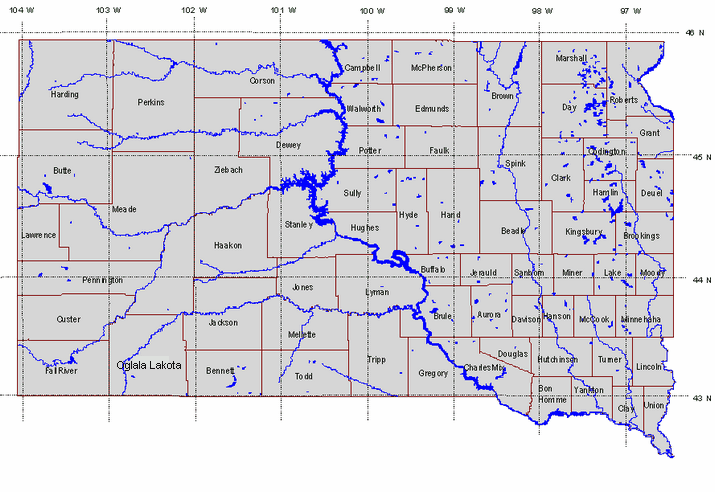
Click on a county to download the NAIP image for that county