
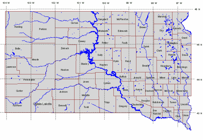
NOTE: If you encounter problems downloading NAIP imagery from this site, you can download from an alternate site at the Geospatial Data Gateway.
Click on a county on the map to download the NAIP image of the entire county.
|

- Air
- Land
- Brownfields
- Concentrated Animal Feeding Operations
- Feedlot Permit (home)
- Geological Survey (home)
- Hazardous waste
- Minerals & Mining (home)
- Oil &Gas regulatory info
- Recycling
- Sara Title III
- Spills
- Superfund sites
- Tanks (above/underground)
- Tanks (septic)
- Waste/Landfills (home)
- Watershed Protection (home)
- Wellhead protection
- Water
- Drinking Water (home)
- Concentrated Animal Feeding Operations
- Feedlot Permit (home)
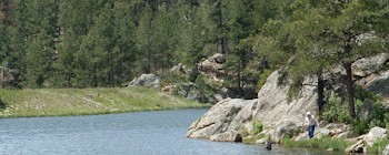
- Fish consumption advisories
- Ground Water Quality (home)
- Hydrology/map information
- Lake Levels
- Missouri River issues
- Plans and specifications
- Streams/lakes/dams
- Source Water Assessment
- Surface Water Quality (home)
- Swimming pools/beaches
- Water (monitoring/assessing)
- Water (pollution control/prevention)
- Water rights (appropriate/use water)
- Water/wastewater operator certification
- Watershed protection
- Permits/Forms
- ONE Stop Permitting
- DENR-wide permitting summary
- All permits/forms (alphabetical)
- All permits/forms (by DENR program)
- Air Quality
- Ground Water Quality
- Minerals and Mining
- Oil and Gas
- Petroleum Release Compensation Fund
- Surface Water Quality (wastewater)
- Waste Management
- Water Rights
- Pending applications/permits
- Plans and specs approval
- Funding
- Description of water/wastewater projects
- Eligibility requirements (state wate plan)
- Grants/loans - major water projects
- Grants/loans - community water projects
- Grants/loans - solid waste/recycling projects
- Loans - drinking water projects
- Loans - wastewater, storm sewer, nonpoint source
- Petroleum Release Compensation Fund